

Hiking matters #803: Climbing Mt. Palhi (Babaeng Bukid) in Dinagat Island

SAN JOSE, DINAGAT ISLAND – The Philippines’ island mountains make for the most fascinating hikes in the country; think Mt. Guiting-Guiting in Sibuyan, Mt. Hibok-Hibok in Camiguin, or the otherworldly Smith Volcano in Babuyan Claro. For this reason, I’ve always wanted to climb Mt. Redondo – the highest point and have tried to do for several years, only to be told that it’s closed to hiking being a mining area.
Thankfully, my good friend Charina Javier told me that not only is Mt. Redondo open, but there’s another hike in the island – Mt. Palhi – that can make it worthwhile, especially given that Mt. Redondo is only accessible through an LGU-offered 4×4 trip to the very top. So, fresh from our Sulu hikes, I headed to Siargao to work remotely for a week then continued to to Dinagat via Surigao City, joined by the travel blogger Christine Fernandez, who was also with us in Sulu.
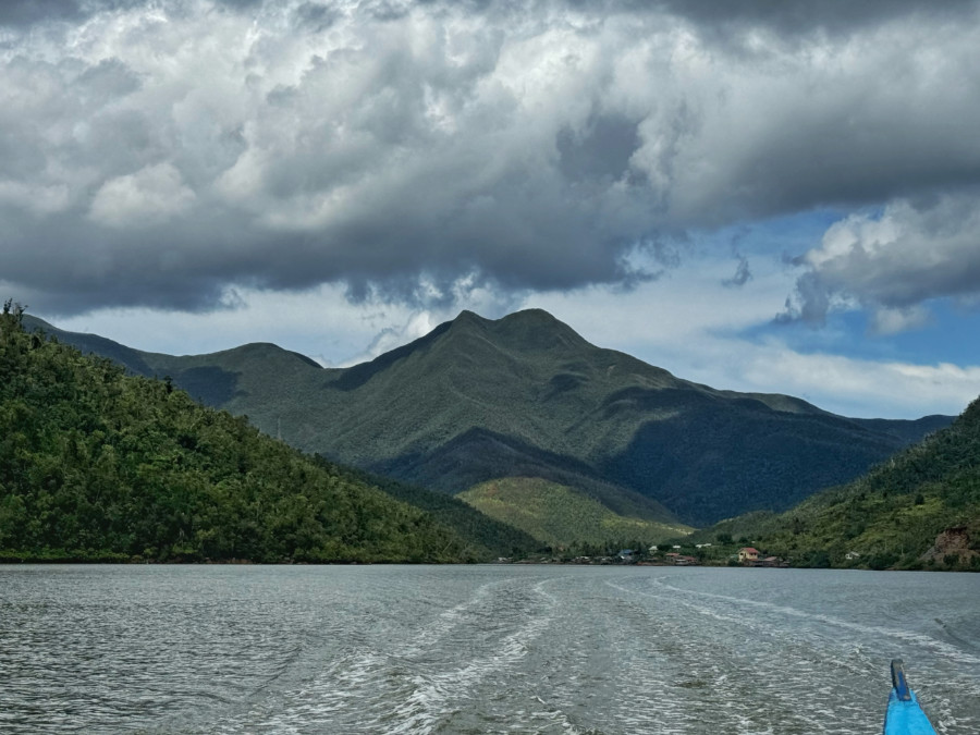
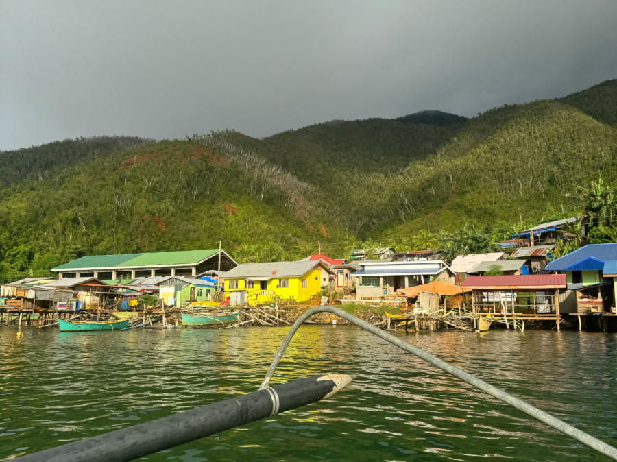
The logistics was quite complicated, but things worked out in the end: renting a bao-bao for the whole day, we went from San Jose to Brgy. Llamera (80 minutes) and were picked up by a pumpboat that took us to Sitio Maytubig, the starting point of the hike. The sitio officials, including the very helpful Crisy Bacara, welcomed us.
The hike – which starts at sea level – enters an ultramafic forest that’s immediately steep but just as immediately rewarding, with lots of pitcher plants (Nepenthes sp.) and other fascinating flora and fauna along the way; atop this section, one can glimpse at the peak of Mt. Palhi and be amazed at how it looks surprisingly majestic – as though it were one of the major mainland mountains! The trail then becomes gentler; meandering through a forest with lots of fallen logs (and thus entail lots of turning and twisting); somewhere in the middle is a campsite with wooden structures which are meant for the mining employees who are actively surveying the site.
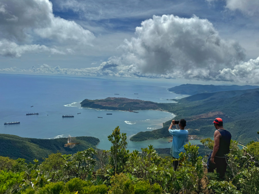
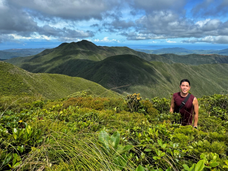
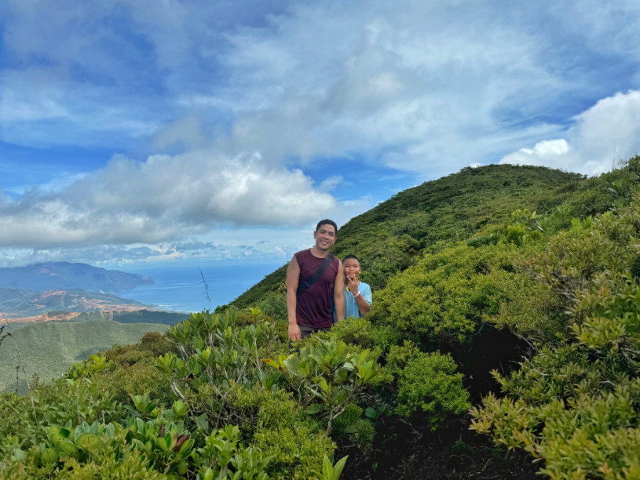
Finally, the forest once again gives away to the stunted, ultramafic trees, signaling that the peak is close at hand; by 0920H we reached the summit after around 2.5 hours of trekking. Atop the summit – which is really reminiscent of the Palawan mountains – there are panoramic views of Dinagat as well as the surrounding islands and the mountains: Mt. Redondo (N) and Homonhon island behind it (NNE), Siargao (ESE), Lalaking Bukid (S), the mountains of Panaon Island and Leyte (W), and various other marine and terrestrial features.
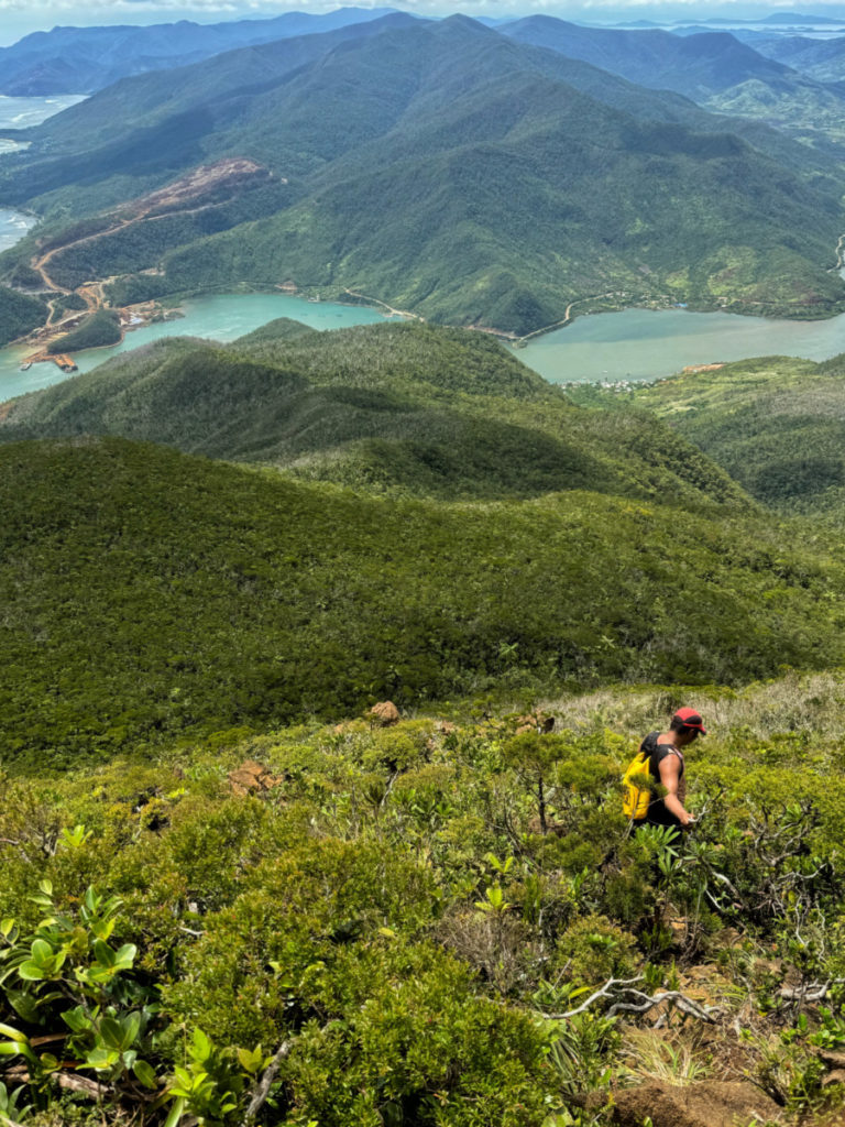
Unfortunately, the mining activities in Dinagat are also in full view and it was heartbreaking to see the mountains being destroyed before my eyes – entire mountain slopes defaced in was otherwise a view as scenic as the fjords I saw in Norway; barges carting off the minerals, and even the sound of chainsaws.
We started the descent at 1000H and was back just before noontime. Despite the heartbreaking scenes of environmental degradation, Mt. Palhi itself remains intact and perhaps with ecotourism and decisive leadership on the part of national and local offcials, Dinagat can make a decisive step towards sustainability. In the meantime, I hope more people will visit Mt. Palhi and the DInagat islands to see for themselves both the beauty and vulnerability of this beautiful part of the archipelago.

Leave a Reply
Be the First to Comment!