
Bud Tumantangis in Sulu (811+)

BUD TUMANTANGIS
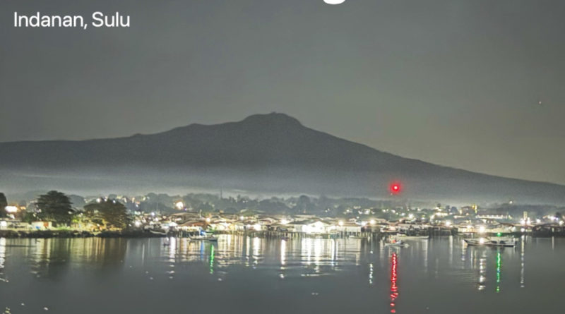
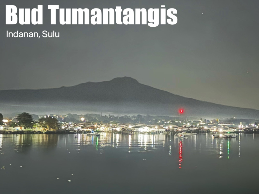
Indanan, Sulu
Major jumpoff: Brgy. Tumantangis, Indanan, Sulu
LLA: 5°59’50” N, 120°57’45” E, 811 MASL (+556)
Days required / Hours to summit: 1 day / 3-4 hours
Specs: Minor; Difficulty 4/9, Trail class 1-3
Features: Tropical rainforest, historic and cultural significance, views of Sulu Sea
Article history: Created August 21, 2024
Author: Gideon Lasco
BACKGROUND
A landmark in the country’s southern seas and a sacred mountain among the Tausug people, Bud Tumantangis rises to 811 MASL and is the highest peak in Sulu. Its name – sometimes translated as ‘weeping mountain’ or ‘mountain of tears’ – speaks of the Tausug people’s affections towards their home island, especially in the context of their maritime journeys. As Alkinor R. Sajan explains:
Since it is magnificently viewed from a far distance in the sea, which captivates the sentiments, memories, sorrows, pains, and love of the Tausug travelers before, Bud Tumantangis means, “A Mountain Site to Cry For.” Tausug travelers before doesn’t cry because the peak of the mountain had fades away but because losing it, means, they had gone far from their beloved homeland and might not be able to return.
For the longest time, the very idea of climbing Bud Tumantangis was considered unthinkable given the peace and order situation in Sulu, but since 2023, a much-improved security environment has allowed locals and visitors alike to visit and pay tribute to this veritable peak, thanks to the efforts of civilian and military officials as well as the growing outdoor community in Sulu. Thus, there is now an opportune moment to visit Sulu and experience its outdoor destinations.
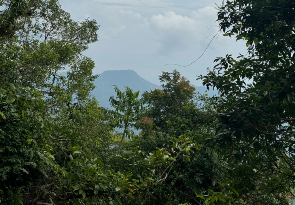
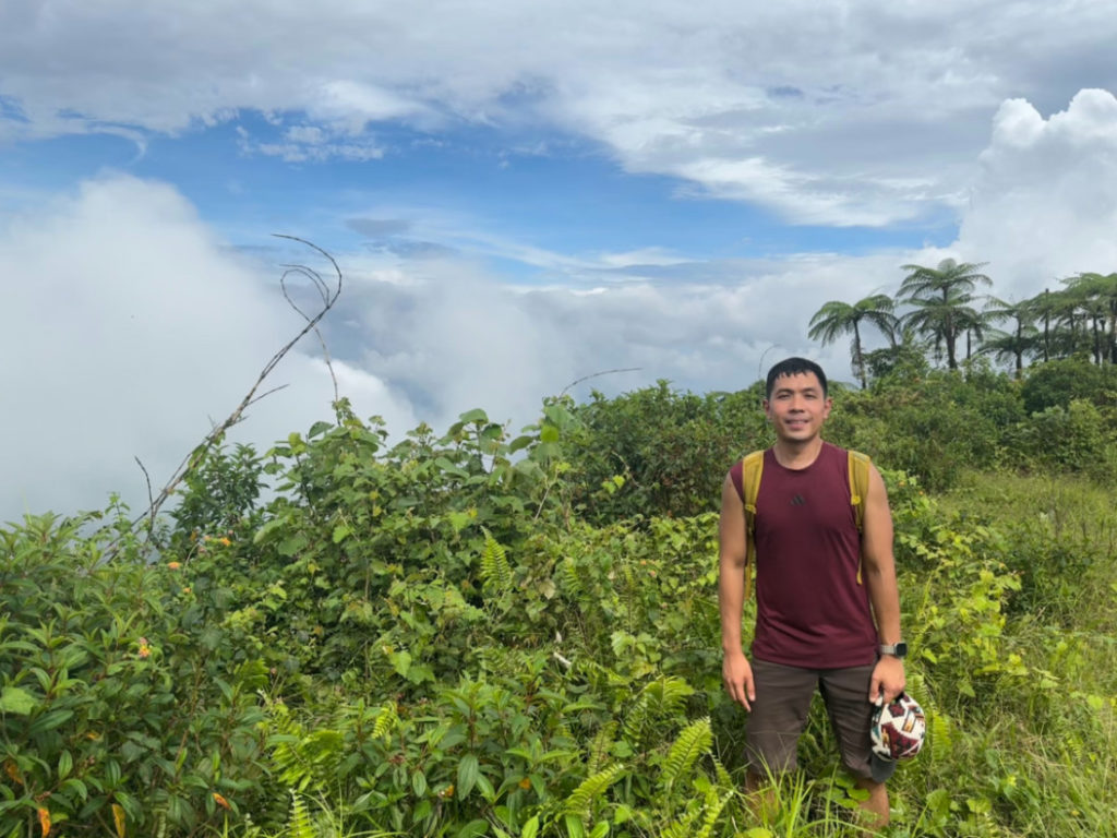
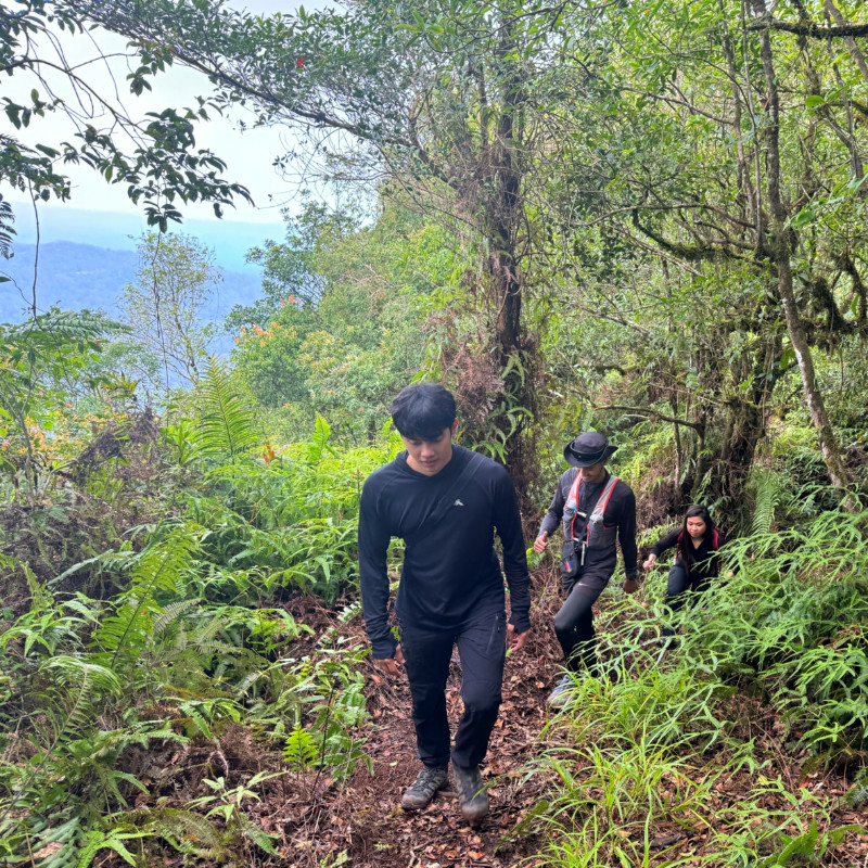
The hike can be considered easy to moderate; although there are some sloped sections that may pose a challenge to beginners, there are no technical or particularly-challenging parts. After passing through a populated woodland, the hike is mostly forested, and featuring some impressively-tall trees – and culminating in mossier upper reaches. It is possible to see, or at least hear, monkeys on the trail. The summit, meanwhile, is a small plateau that offers views of the surrounding islands and mountains, including including Bud Dajo (E) and its distinctive crater rim as well as the very prominent Bud Sinumaan (S); the small islands north of Sulu are also visible from the peak.
ITINERARY
(From Jolo)
0500 Leave Jolo for Indanan
0600 Courtesy call in military camp; other formalities if necessary
0630 Start trekking
0800 Rest along the way
0920 ETA Helipad
0930 ETA summit; enjoy views of Sulu Sea
1030 Start descent
1300 Back in trailhead in Indanan. Tidy up.
1400 ETA Jolo in time for late lunch
PRACTICALITIES: BUD TUMANTANGIS
| Transportation | Due to the current situation, arranging for a vehicle to take you to the trailhead is highly recommended |
| Registration | Depending on the current situation; tourism officers or coordinators will advise and/or take care of registration with the LGU and military units concerned, as needed. |
| Guides | Available |
| Contact numbers | Najib Julkipli (09061093359) – Coordinator, guide, and liaison with the tourism office |
| Campsites and waypoints | Camping is possible in the helipad and the summit area |
| Water sources | None |
| Cellphone signal | +/- Sporadic at the summit |
| River crossings | None |
| Roped segments | None |
| Limatik | None |
| Lipa | + |
| Rattan | Some |
| Hiking notes | The trail is relatively straightforward; please practice cultural sensitivity and show respect for local traditions and customs, including avoiding noise during prayer times and not bringing/drinking alcohol. |
| Sidetrips | Numerous side trip possibilities exist in Sulu – including beaches and other peaks |
| Alternate trails | There are various trail possibilities but be sure to coordinate first with local guides/coordinators for their feasibility |
| Dayhikable | Yes |
| Facilities at jumpoff | (+) Sari-sari stores (?) Wash-up / shower places |
| Estimated budget | 600-800 (dayhike from Jolo) |
BUD TUMANTANGIS PICTURES
TRIVIA
“The view of Bud Tumantangis ( Crying Mountain ) always awakens a nostalgic feeling in every native as he departs and joy when he arrives” – Norma Abubakar Abdulla (1989)
“Although only 853 meters high, [Tumantangis] is almost always capped by a blanket of white clouds from which the ” crying ” mountain got its name.” – Juanito A. Bruno, The Social World of the Tausug (1973)
Some accounts place Bud Tumantangis’ elevation at 885 MASL; however, this is not corroborated by the latest topographic and satellite data, as well as individual recordings from the summit itself. For now, Pinoy Mountaineer favors the 811 MASL that’s used by the local officials.
The author’s hike up Bud Tumantangis in October 12, 2024 is chronicled in Hiking matters #801.
Leave a Reply
Be the First to Comment!