Hiking matters #111: Mt. Apo Sembreak Climb Part 2: Kidapawan
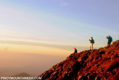
Camped at Mt. Apo’s summit, nestled within its peaks, we were illuminated by the full moon, which shone ever so brightly in an altitude where we could appreciate not only its serenity, but also those of its celestial companions: the stars. And before I finally retired in my tent, a shooting star crossed over. I made a wish that everybody would be safe by the end of the climb.
Yet, for that wish to become reality, everybody needed to negotiate the Kidapawan trail. This trail, though deemed one of the easiest of Mt. Apo’s several trails, can become treacherous. It can be divided into three parts: first, the descent from Apo summit to Lake Venado, on muddy trails along grassy slopes. Second, the forest trail from Lake Venado to Mainit campsite, which features some steep sections. And finally, the crossing of Marbel (Marble) river – which can turn into a raging river with unmitigated rains.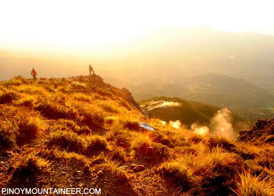
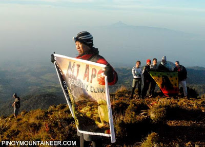
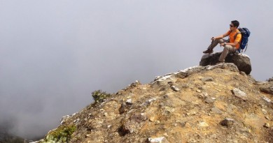
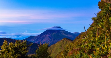
As we embraced the sunshine at the highest point in the country, however, there was no sign of the coming debacle – only the beauty of Apo; the beauty of Mindanao. Mt. Matutum rose loftily on the southwest; whereas Talomo – the companion peak of Apo – loomed high on the other side. (We would also be climbing Mt. Talomo immediately after Mt. Apo). Meanwhile, the dew-covered wildberries at the summit were a very luscious morning treat.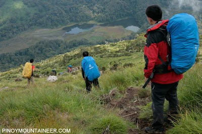
We had pushed for an 0800H departure time; unfortunately we failed to achieve that deadline. Still, weather was good when we descended via the grassy, increasingly slippery slopes to Lake Venado, which we could see beneath us. I was extra careful: I nearly got my knee ligament chopped when I hit a rock dead-on as I descended this same trail five years ago. It was comforting to reach Lake Venado. Like Kanlaon’s Margaha Valley, this is one of the wide campsites in the Philippines where you wish you could have an eternal picnic.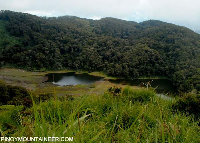
A torrential downpour, however, came upon us as we descended the “87 degrees” part of the forest leading to Mainit campsite – turning the trails into a muddy stream. The threat of landslides was real – and some participants actually witnessed sections of the trail falling off, just as they had crossed them! Our guides diverted us to the rightward variation of the trail – Songco – instead of the leftward Mainit. Songco would miss the Mainit campsite but will also bypass a large segment of Marbel River. This detour was necessary to reduce the risks presented by crossing a raging river.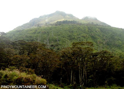
So we followed the Songco trail, eventually arriving in a campsite surrounded with orange flowers. I prayed hard that it the rains would cease, and thankfully, they did stop, never to come again during our sojourn. By late afternoon we had reached the five remaining river crossings that were not part of the bypass. The river had swollen and the trail began to be quite confusing; to augment this we installed more trail signs and planned to recall some of our guides who had gone ahead of us in Lake Agco Resort.
Just as darkness was setting in, we arrived at the Resort, only to find the resort staff in disarray. The barangay elections to be held the following day had kept them preoccupied; worse, they simply ignored our reservations to cater to the politicians. We had to rent their main function hall to accommodate the tents, and pressured them to cook some adobo for the weary participants.
The climb, however, continued, with less than half of our contigent still in transit. Cumulative fatigue had set in with the darkness, severely delaying the arrival of our companions. Still, they pushed on, blessed with continuing good weather and gradually improving river conditions. As soon as we fixed the Lake Agco Resort problems, we dispatched several guides to assist the participants.
Still, it would be a long way for the sweepers and sub-sweepers, but eventually, everyone arrived in the safety of the resort. At the dining hall everybody kept discussing how difficult the trail was. Our Malaysian participants said that Apo was a “very tough climb” and Hamish Roberston, from Australia, agreed. Diego, the youngest participant, protested to me, “You made it sound easy!” and indeed there is no denying his logic: climbing Mt. Apo is easier said than done. But surviving the highest mountain in the country is an action that wil certainly speak louder than words, and stay on as an enduring memory in all of us.
As tough as the climbing (and surviving) was the organizing, and a lot of troubleshooting had to be done for the climb to work out. For this I am thankful for the patience and cooperation of our participants, and the support of our Climb Secretariat Daniel Dellosa, our Forward and Sweep teams, our Davao-based organizers, and our Climb Physician Julian Canero whose pain relievers ran out by the end of the climb.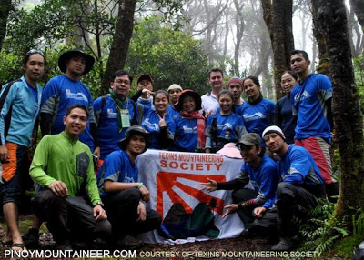
The cooperation and the camaraderie while climbing a mountain as a team has made the journey more meaningful, and my gratitude is boundless to those who made it happen. To say
“I survived Mt. Apo” is a strong declaration of triumph, but “We survived Mt. Apo” is stronger. We came, we saw, we conquered.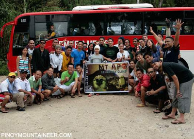
Pants: Zebra Platinum Trekking Pants
Raincoat: Mountia Raincoat Blue
Shoes: Teva Forge Pro eVent
Tent: SwissGear Hiking Tent
Sleeping Bag: Coleman Crescent Sleeping Bag
Altimeter: Casio Protrek Waveceptor
Cameras: Nikon D3000 + Fujifilm Finepix Z33 WP
DAVAO TRIP 2010: MT. APO SEMBREAK CLIMB + MT. TALOMO
Hiking matters #110: Mt. Apo Sembreak Climb Part 1: Kapatagan
Hiking matters #111: Mt. Apo Sembreak Climb Part 2: Kidapawan
Hiking matters #112: Mt. Talomo’s mystical forests and Mt. Apo views
Hiking matters #113: A tour of outdoor shops in Davao City



Leave a Reply
2 Comments on "Hiking matters #111: Mt. Apo Sembreak Climb Part 2: Kidapawan"
hello po sir gideon.. i saw u po in mt.apo… ang bibilis nyo pong maglakad.hehehe
never thought Philippines has this much to offer!! wow!!