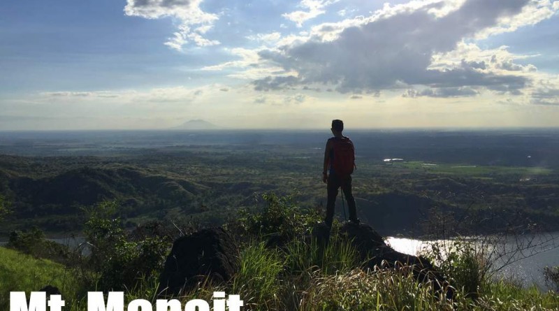
Mt. Mapait (367m) in Palayan City, Nueva Ecija
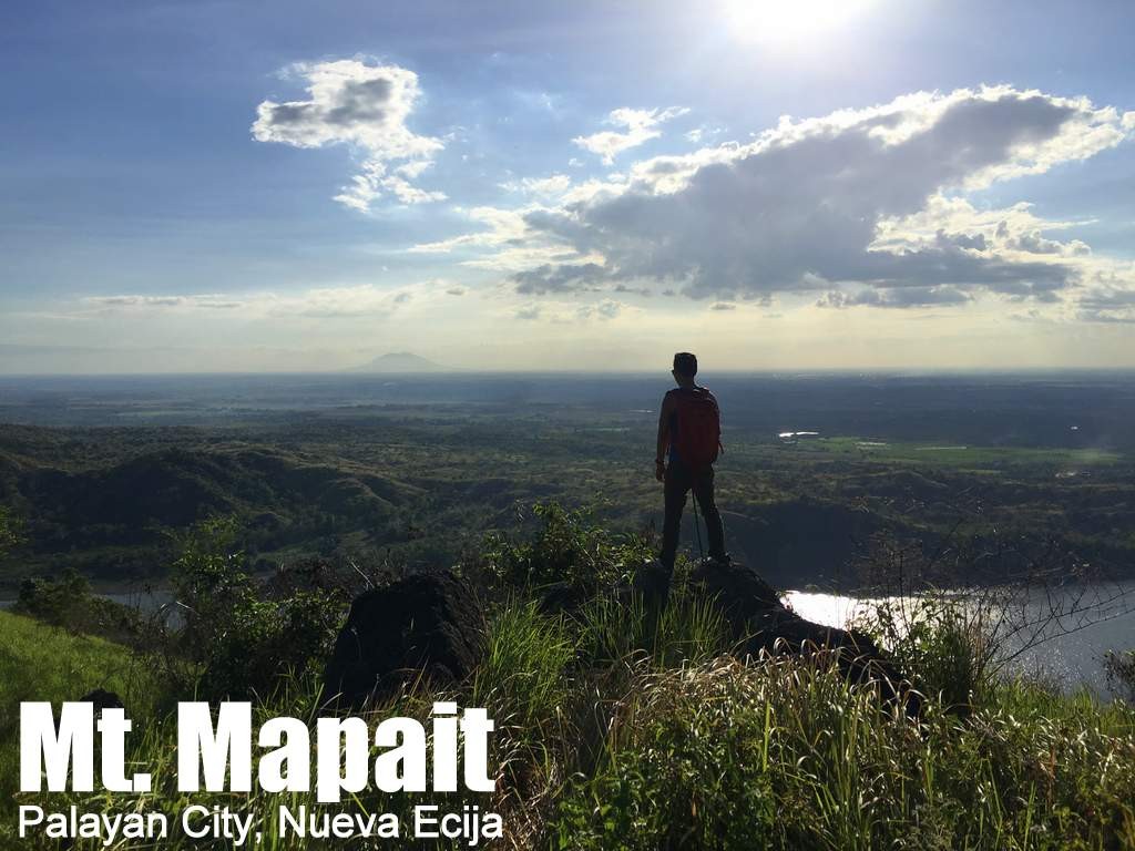
MT. MAPAIT
Palayan City, Nueva Ecija, Central Luzon
Major jumpoff: Dam, Brgy. Mapait, Palayan City
LLA: 15°30′34.4′′N, 121°7′34.8′′ E, 367 MASL (+268)
Days required / Hours to summit: 1 day / 1-1.5 hours
Specs: Minor climb, Difficulty 2/9, Trail class 1-3
Features: Scenic views of Nueva Ecija
Article history: Created March 5, 2017
Author: Gideon Lasco with inputs from Marty Cellona
BACKGROUND
Mountains are like human beings: Their heights can impress us, but in the final analysis, they don’t have to be tall to be interesting. Mt. Mapait may not technically be considered a true mountain, but it is a nice hiking destination nonetheless – a scenic spot at the heartland of Nueva Ecija. Hikers who visit Mt. Sawi in Gabaldon can consider it as a worthy sidetrip.
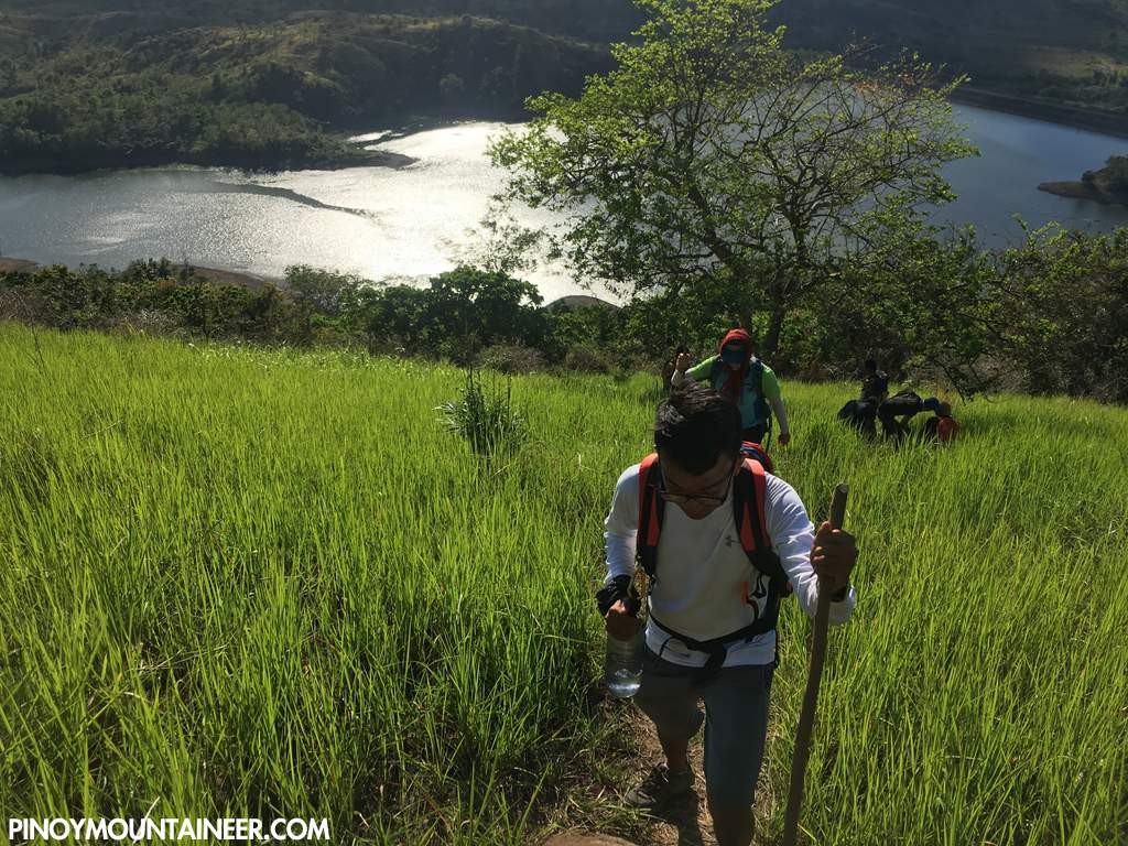
Although the term ‘mapait’ is consistent with the ‘hugot’ zeitgeist of the times and complementary to the emotions evoked by its neighbor, Mt. Sawi, it is actually a mere consequence of its home barangay that the hiking destination was named thus. From Brgy. Mapait’s barangay hall, a short ride to Aulo Lake – an artificial lake created by a dam – is followed by a short boat ride. The hike takes less than an hour, and is vaguely reminiscent of Mt. Talamitam.
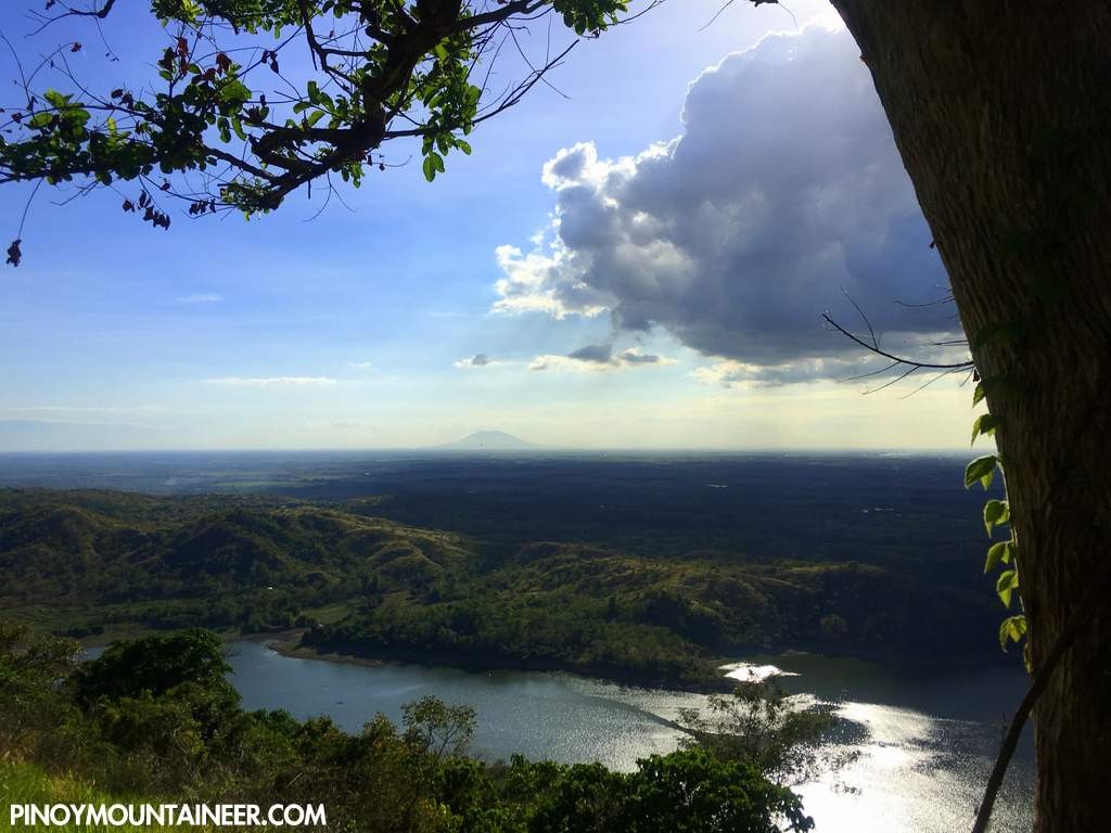
At the top – made up of grassland slopes with some kaingin fields – the hiker is offered scenic views of Aulo Lake, the surrounding plains, and a distant but ever-majestic Mt. Arayat. Novo Ecijanos looking for a campground can either retreat to the forested portion past the highest point – or head back to the lakeshore Either way, it is a nice nature trip!
ITINERARY
Note: The itinerary is based in public transportation. Those with private vehicles can expedite the trip by reducing the travel time to the trailhead from 100 to 60 minutes.
0130 ETD Cubao
0500 ETA Cabanatuan; early breakfast
0520 Proceed to Palayan City
0600 Arrival at Brgy. Caimito; take trike to Brgy. Mapait
0630 ETA Mt. Mapait. Register.
0700 Take trike to Aulo Lake
0720 Arrive at lake, take boat to other side
0730 Arrival at trailhead. Start trekking.
0900 ETA Mt. Mapait summit
1000 Head back to trailhead
1100 End of trek. Take return boat, then tricycle
1130 Back at brgy hall; tidy up
1200 Head back to Cabanatuan
1330 Back in Cabanatuan. Late lunch / Take bus back to Cubao
1800 ETA Manila
PRACTICALITIES
| Transportation | Public (1) Bus, Cubao to Cabanatuan[P200, 3-4 hours] (2) Jeep, Cabanatuan to Palayan City [P48, 45 mins] (3) Tricycle to Brgy. Mapait trailhead [P20 25 mins] (4) Boat rental in Aulo Lake {P30, 10 mins] Private: Fastest way to Cabanatuan from Manila is via NLEX and then SCTEX – take La Paz exit and head east to Cabanatuan. Then follow the road to Dingalan, via Laur and Palayan City, then take the road to Brgy. Mapait (ask for directions). Then (4). |
| Registration | Logbook at trailhead; P20 fee |
| Guides | Available, required: P300/dayhike (1:10) |
| Contact numbers | Brgy Captain Toletino Baltazar 09208125946 |
| Campsites and waypoints ⛺ | Campsites: (1) Lake Aulo lakeshore (2) Past the summit |
| Water sources 🚰 | None |
| Cellphone signal 📶 | Present in most parts of the trails (Globe; Smart) |
| River crossings | None |
| Roped segments / Technical parts | None |
| Limatik | None |
| Lipa | None |
| Rattan | Few |
| Hiking notes | Nueva Ecija mountains can get very hot. Sun protection and sufficient water are advised, and so is an early start if possible. |
| Sidetrips | Mt. Sawi can be sidetripped as part of a ‘twin dayhikes’ in Nueva Ecija. |
| Alternate trails | None documented at the moment |
| Dayhikable | Yes (2.5-3 hours to complete the whole circuit) |
| Facilities at jumpoff | (+) Sari-sari stores (+) Restrooms / wash-up places (+) Parking |
| Estimated budget | P800-900 from Manila |
MT. MAPAIT PICTURES
TRIVIA
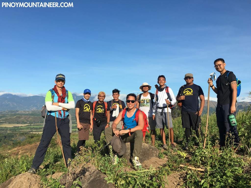
Mt. Sawi was opened in 2016 by the Cabanatuan-based Nueva Ecija Backpackers and Mountaineering Community (NEBMC) as part of efforts to promote ecotourism as an alternative livelihood.


Leave a Reply
Be the First to Comment!